Route Zero
If you're new to running in Austin, running along the river is a great start. This is an easy route: generally straight, very little elevation change, not too crowded. This is a popular area for paddleboarding, kayaking and biking, so you'll encounter other people while running. Parking is aplenty and the trail is open year-round.
Overview
Distance3.1 mi
Elevation~ 68 ft
Average Time38 min
Route SurfaceGravel/Paved
Sun ExposurePartial Shade
Access
Google MapsNavigate ↗
Coordinates (.GPX)Download ↗
StravaOpen Route ↗
A picture's worth a thousand words, so how about a video of the trail?
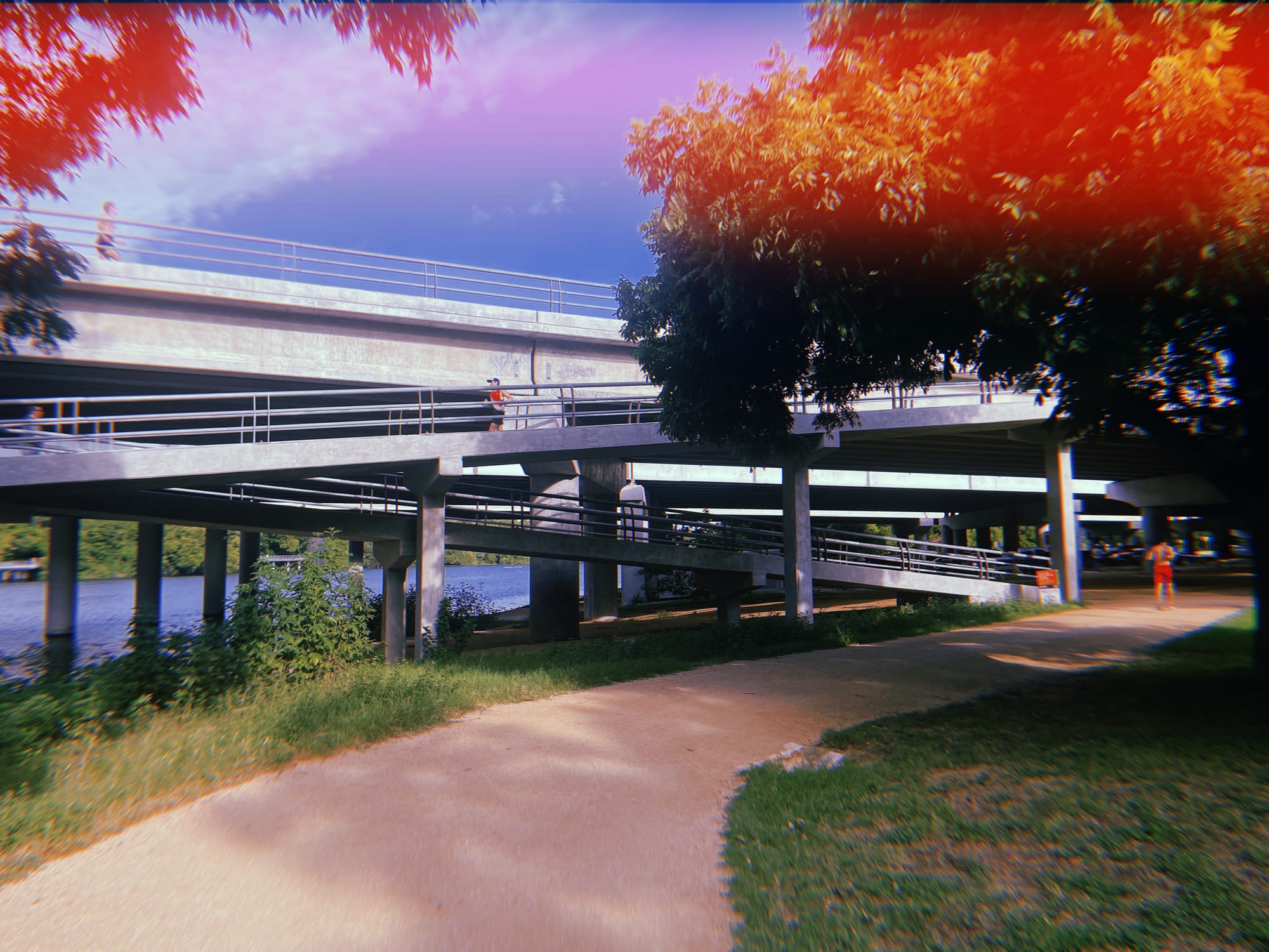
Here's what you'll see on the road.
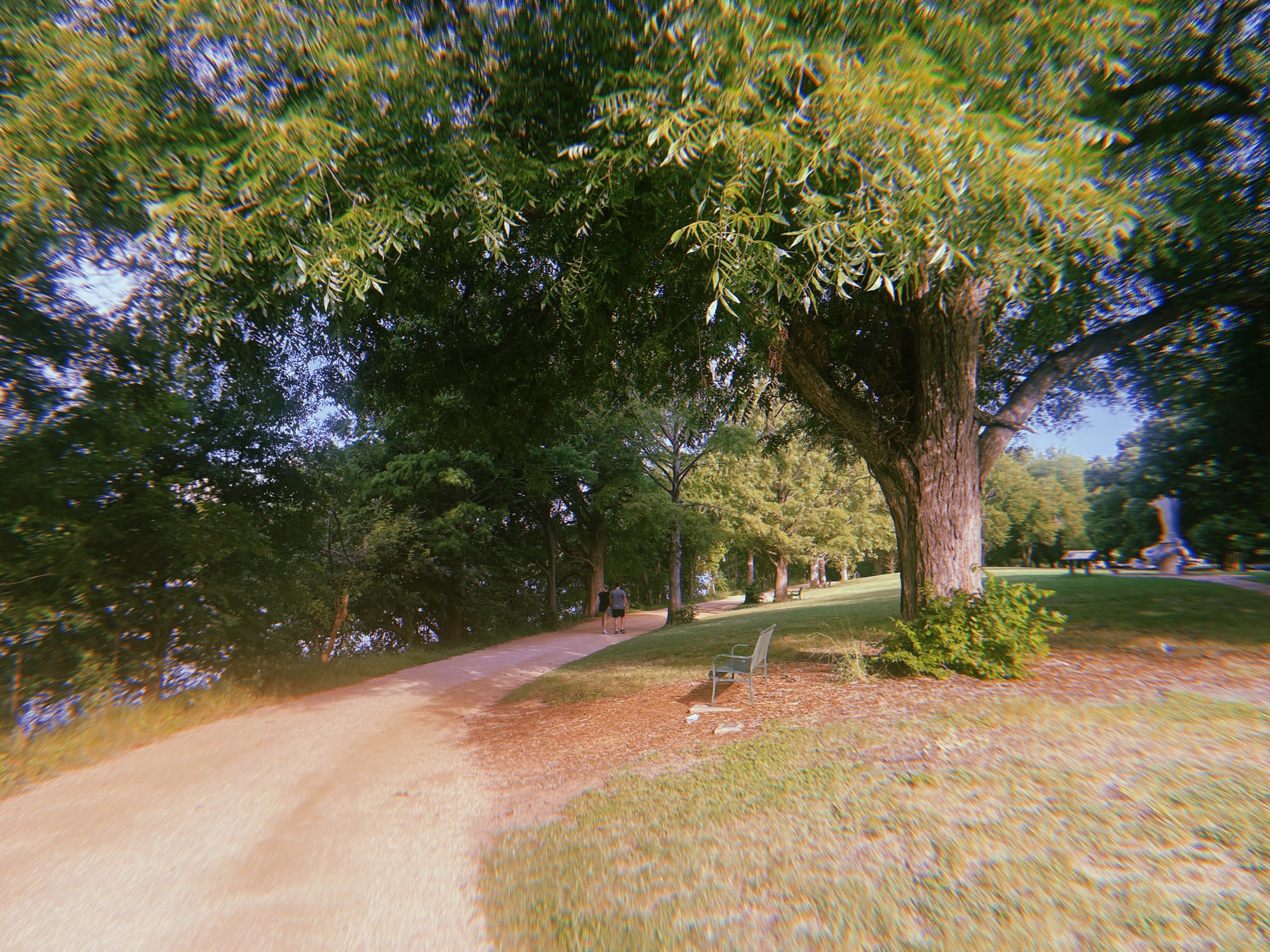
#1: Start Point

Distance from start (e.g., 2.3 mi)
Estimated Time from Start (e.g., 44 min)
Average Pace at This Point (e.g., 13:00 / mi)
Deep in the heart of old South Austin, this little green gem of a creek joins the Colorado river just after passing under the boardwalk.
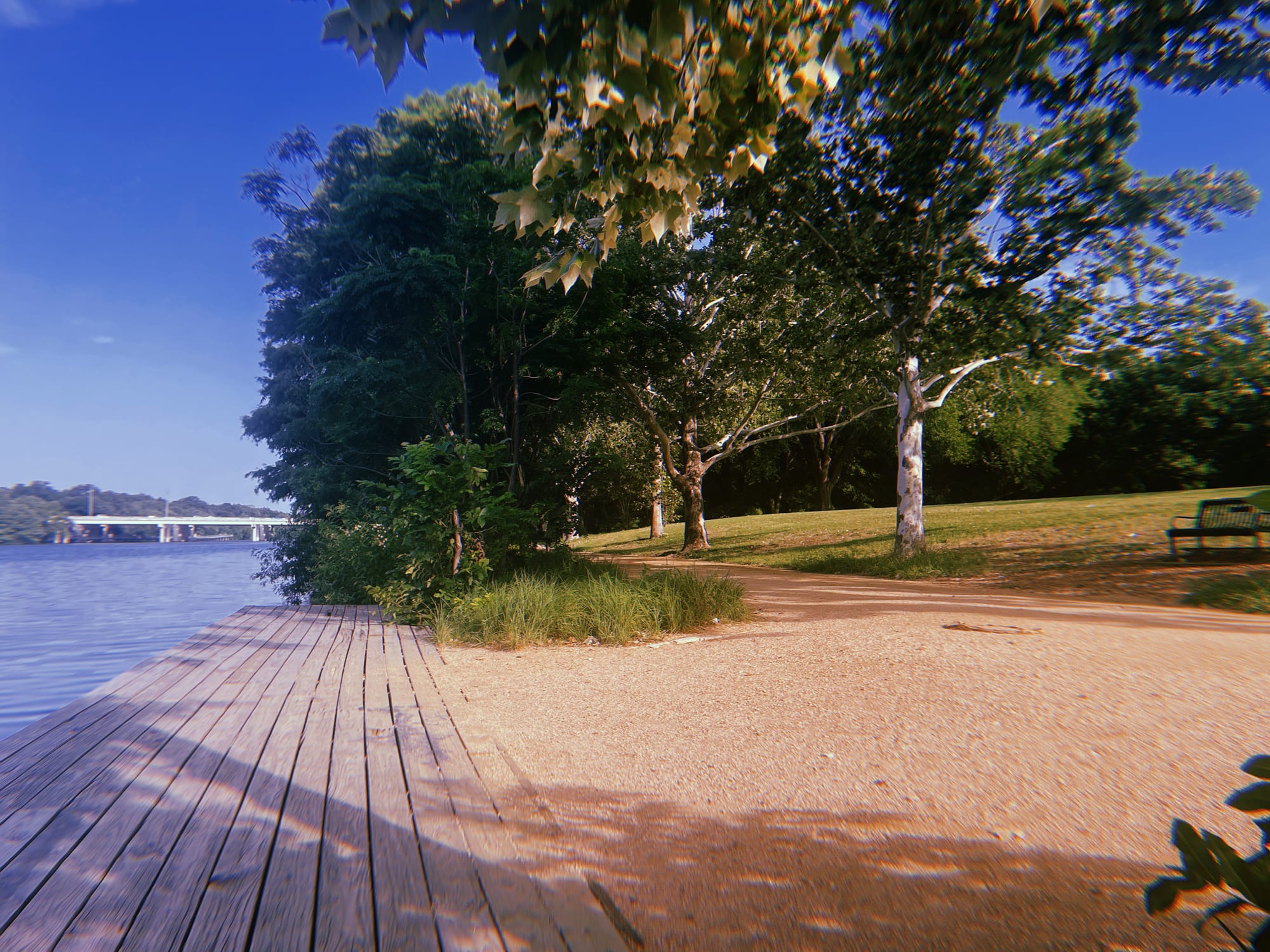
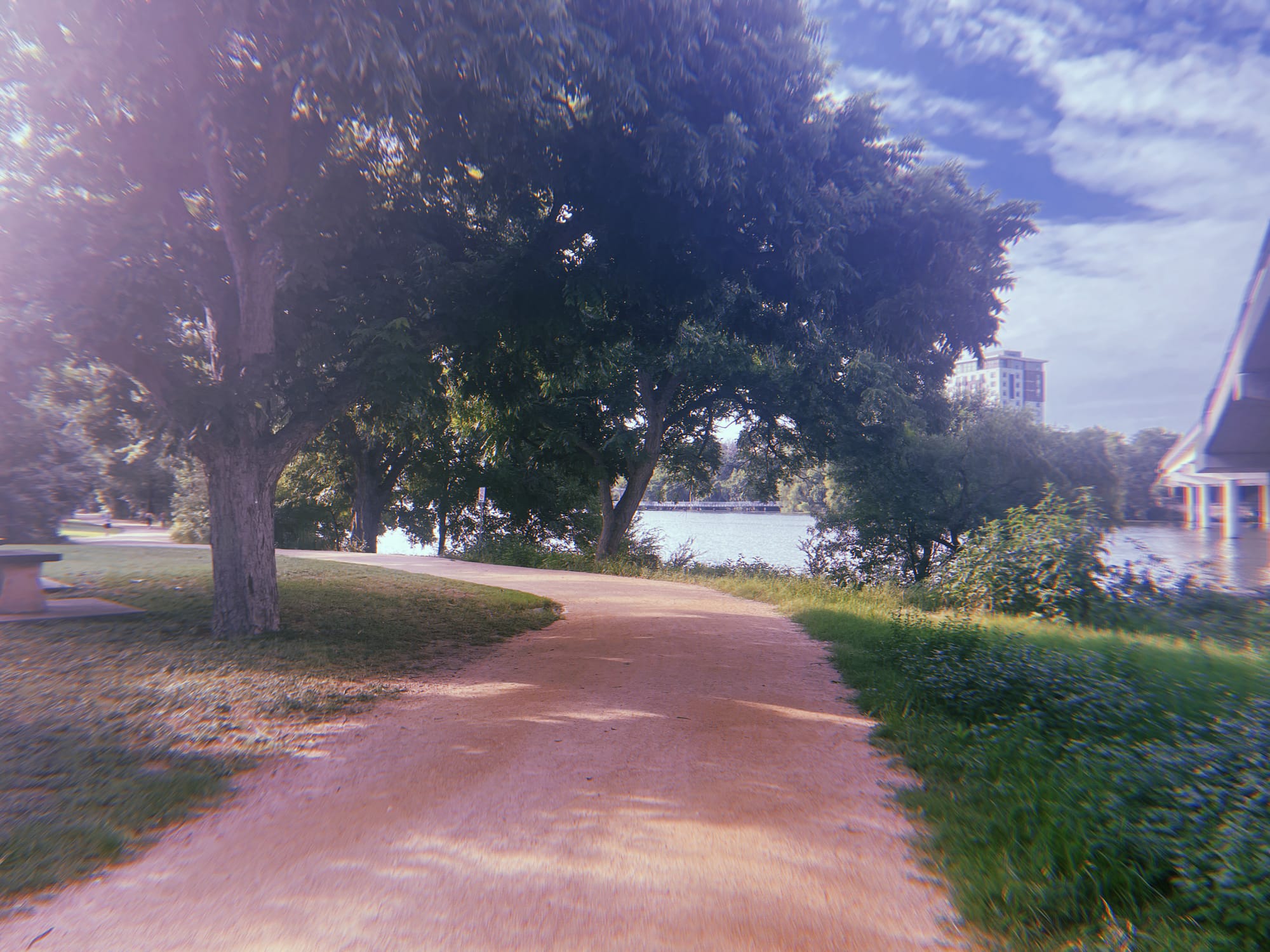
#2: Creek Pass
Distance from start (e.g., 2.3 mi)
Estimated Time from Start (e.g., 44 min)
Average Pace at This Point (e.g., 13:00 / mi)
Deep in the heart of old South Austin, this little green gem of a creek joins the Colorado river just after passing under the boardwalk. Further upstream is an enjoyable trail and Blunn Creek Preserve.
#3: Stevie Ray Vaughan Statue

Distance from start (e.g., 2.3 mi)
Estimated Time from Start (e.g., 44 min)
Average Pace at This Point (e.g., 13:00 / mi)
A bronze sculpture of guitarist and frontman Stevie Ray Vaughan, who is regarded as one of the most influential blues musicians of all time. He died in 1990 in a …
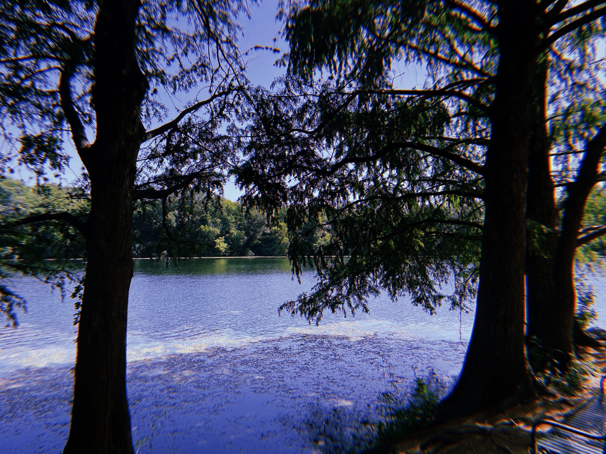
#4: Barton Creek joins Colorado River

Distance from start (e.g., 2.3 mi)
Estimated Time from Start (e.g., 44 min)
Average Pace at This Point (e.g., 13:00 / mi)
The scenery around Barton Creek is some of the finest in the Austin region, with limestone cliffs and dense foliage. Here, the Creek feeds the Colorado River as it makes its way through the city.
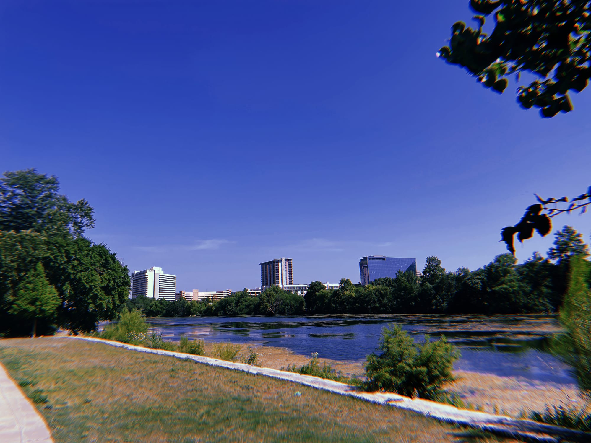
#5: Lou Neff Point

Distance from start (e.g., 2.3 mi)
Estimated Time from Start (e.g., 44 min)
Average Pace at This Point (e.g., 13:00 / mi)
Named in honor of Lou Neff, a member of Austin's Town Lake Beautification Committee, this is a super viewpoint. It features a gazebo, installed in 1993, and gives excellent views of downtown Austin.
#6: Longhorn Point

Distance from start (e.g., 2.3 mi)
Estimated Time from Start (e.g., 44 min)
Average Pace at This Point (e.g., 13:00 / mi)
Longhorn Point gives you a grand view across the Colorado River towards central Austin. It can be linked with either a walk around Roy G. Guerrero Park or...

Thank you for reading this post. If you liked it:
Subscribe to get updates on new content, merch, events and more from Sendō.
Check out some Research: our free collection of training plans, workout guides, nutrient-dense grocery lists, pace calculators, and other tools to support your quest.
Browse the Online Shop for apparel, accessories and training books to equip yourself for the path ahead.
Have a tip, story, or idea? It could end up in a future post. Email me anytime with questions, thoughts, or even confessions — we're all in this together.